ENVIRONMENTAL MONITORING

Whether you’re tracking environmental changes, managing a property, or planning for the future. Traditional monitoring methods can be inaccurate, expensive, and often miss important details. That’s where AIR360 comes in. We give you the full picture without the hassle.

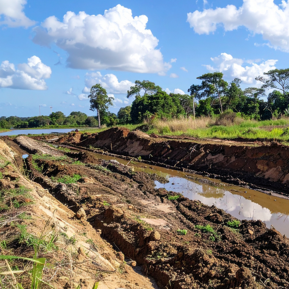
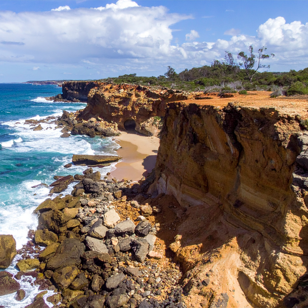
With regular aerial monitoring and mapping, you can easily track changes like erosion, vegetation growth, and land use over time. Whether you need insights for compliance, development planning, or conservation, our technology gives you the data you need to make smart, informed decisions.

From coastlines to conservation areas, AIR360 helps you keep an eye on the land without setting foot on it.

  • See the details – Get crisp, high-resolution imagery and 3D models that highlight every inch of land.

  • Track change – Track erosion, vegetation health, and land movement before small issues become big problems.

  • Make better decisions – Use real data to guide land management, environmental efforts, and future planning.

  • Save time & money – Cover large areas in a fraction of the time compared to manual surveys.

  • Monitor online – Easily document landscape changes for regulatory reports and approvals on our software.

SHIFTING SANDS

QUESTIONS

Aerial surveys can achieve impressive accuracy, but the level of precision depends heavily on the equipment used.

Using Standard GPS-Based Drones

Accuracy is generally 1–5 meters and rely on onboard GPS, which can have slight positional errors due to satellite inconsistencies and environmental factors. These are suitable for general mapping, progress tracking, and basic site analysis, but not ideal for engineering or survey-grade accuracy.

With RTK (High-Precision GPS Correction)

Accuracy can be 1–3 cm. RTK drones receive real-time corrections from a ground-based station, significantly improving positional accuracy. RTK systems are best for high-precision mapping, volumetric calculations, infrastructure inspections, and construction planning.

For ultimate accuracy, RTK is the preferred choice, ensuring reliable and repeatable data with minimal post-processing.

It’s important to understand we are NOT qualified Surveyors so cannot certify geospatial data provided. If this certification is required, we can work with surveyors to provide this.

Yes! Drones must follow Australian airspace regulations and avoid certain areas determined by CASA. Speak with us to discuss your project and any airspace or regulation limitations you may face.

Not always. Drones generally excel in speed, safety, and cost-effectiveness, but some situations may still require manual inspections or specialized equipment that a drone cannot carry. Airspace limitations may also restrict where drones can fly.

Your data can be delivered in the format that best suits your needs. For Site Progression reporting, we utilise Pix 4D software platform. We can provide cloud access seats for your team and contractors who need access to the data.

CONTACT US

We’re a small but passionate group of experts located in South East Queensland but service the entire country.
We may be out flying right now, but please fill in your details below & we’ll get back to you as soon as possible!

Let’s discuss Your Next Project!