DRONE ENABLED ENVIRONMENTAL MONITORING
Whether you’re tracking environmental changes, managing a property, or planning for the future. Traditional monitoring methods can be inaccurate, expensive, and often miss important details. That’s where AIR360 comes in. We give you the full picture without the hassle.
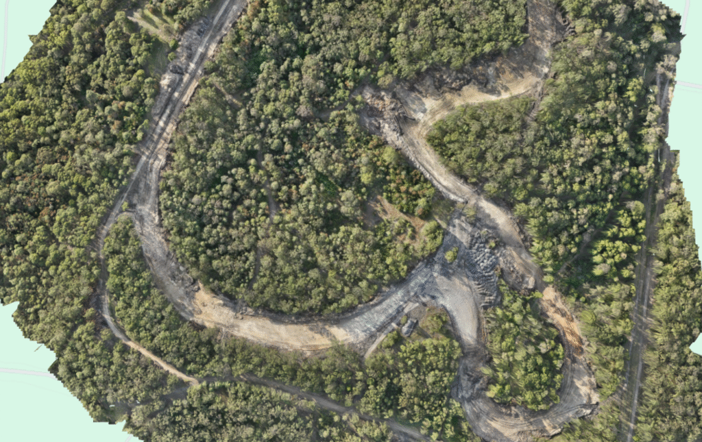
With regular aerial monitoring and mapping, you can easily track changes like erosion, vegetation growth, and land use over time. Whether you need insights for compliance, development planning, or conservation, our technology gives you the data you need to make smart, informed decisions.
From coastlines to conservation areas, AIR360 helps you keep an eye on the land without setting foot on it.
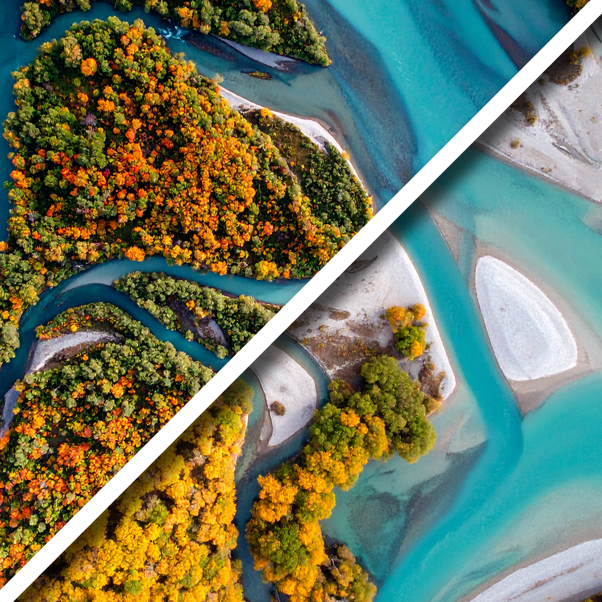
Environmental Change
Monitor vegetation, land use, or habitat changes over time for compliance, conservation, and environmental impact assessments.
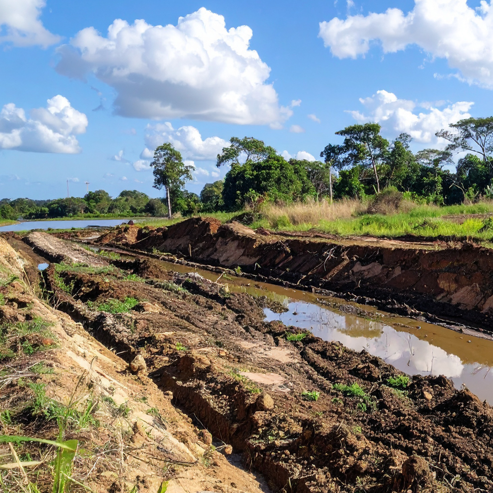
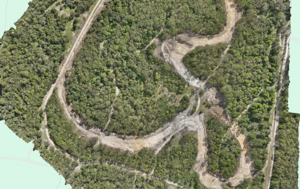
Land Rehabilitation
Track post-mining rehabilitation progress, vegetation regrowth, and terrain shifts to meet compliance and environmental reporting requirements.
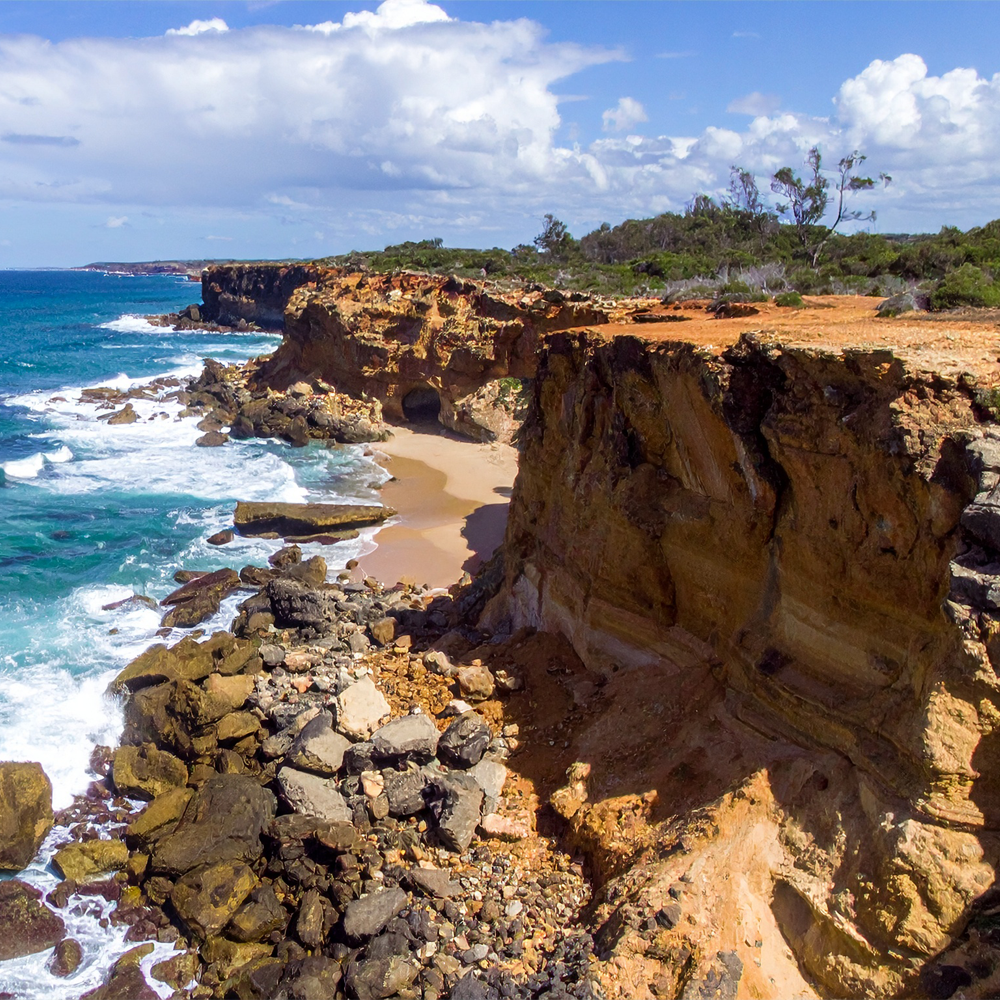
Coastal Erosion
Identify and monitor erosion patterns to support early intervention and protect vital coastal or inland waterway infrastructure.
MONITOR CHANGE OVER TIME
QUESTIONS
CONTACT US
We may be out flying right now, but please fill in your details below & we’ll get back to you as soon as possible!